MAKE A MEME
View Large Image
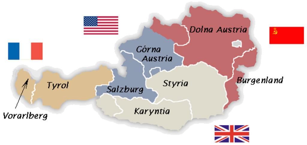
| View Original: | Okupacja Austrii.png (605x286) | |||
| Download: | Original | Medium | Small | Thumb |
| Courtesy of: | commons.wikimedia.org | More Like This | ||
| Keywords: Okupacja Austrii.png Strefy alianckie w Austrii Based on File Austria_1945-55 png by Christoph Lingg Translated into Polish by Mix321 Transferred from http //pl wikipedia org pl wikipedia; transferred to Commons by User Piotrus using http //tools wikimedia de/~magnus/commonshelper php CommonsHelper 2007-01-18 Original uploader was Mix321 at http //pl wikipedia org pl wikipedia Released into the public domain by the author pl wikipedia Mix321 translated into Polish Austria_1945-55 png original upload log page pl wikipedia Okupacja_Austrii png 2007-01-18 19 57 Mix321 605×286× 51265 bytes <nowiki> map Maps of the history of Austria </nowiki> 2007-10-14T13 56 23Z C lingg 1400x542 60297 Bytes <nowiki>Fixed the american flag it contains now 48 stars </nowiki> 2005-08-21T17 13 28Z C lingg 1400x542 59701 Bytes <nowiki>Occupied Austria 1945-1955 selfmade source http //www aeiou at/aeiou encyclop data image b/b397245b jpg PD </nowiki> 2005-07-29T13 04 22Z Karl Gruber 0x0 131005 Bytes <nowiki>map colored by myself 7/2005</nowiki> 2005-07-29T05 27 27Z Phrood 1490x771 6129 Bytes <nowiki>GFDL drawn by Kagru converted to png by Phrood</nowiki> Maps of the history of Austria Maps of the history of Burgenland Maps showing history in Polish Maps showing 20th-century history | ||||