MAKE A MEME
View Large Image
| View Original: | Oklahoma City Metropolitan Area and Oklahoma City-Shawnee CSA.png (574x293) | |||
| Download: | Original | Medium | Small | Thumb |
| Courtesy of: | commons.wikimedia.org | More Like This | ||
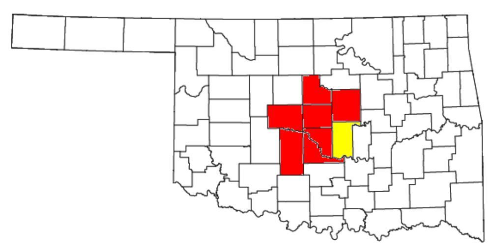
| Keywords: Oklahoma City Metropolitan Area and Oklahoma City-Shawnee CSA.png Locator map of the Oklahoma City metropolitan area Oklahoma City Metropolitan Statistical Area in the central part of the U S state of Oklahoma highlighted in red Yellow denotes Pottawatomie County which is added to the metro area to form the Oklahoma City-Shawnee Combined Statistical Area CSA Modified from http //www2 census gov/geo/maps/general_ref/cousub_outline/cen2k_pgsz/ok_cosub pdf this United States Census Bureau file 2008-07-26 User Nyttend US Government work is public domain and my work is Maps of Canadian County Oklahoma Maps of Cleveland County Oklahoma Maps of Grady County Oklahoma Maps of Lincoln County Oklahoma Maps of Logan County Oklahoma Maps of McClain County Oklahoma Maps of Oklahoma County Oklahoma Maps of Pottawatomie County Oklahoma Maps by User Nyttend Maps of census statistical areas in Oklahoma | ||||