MAKE A MEME
View Large Image
| View Original: | Obwód_Nadnotecki_na_mapie_Prus_i_Król_Kongresowego_1810_r.JPG (2000x1761) | |||
| Download: | Original | Medium | Small | Thumb |
| Courtesy of: | commons.wikimedia.org | More Like This | ||
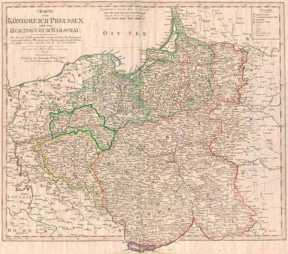
| Keywords: Obwód Nadnotecki na mapie Prus i Król Kongresowego 1810 r.JPG pl Obwód Nadnotecki na mapie Prus i Królestwa Kongresowego http //www lib utexas edu/maps/map_sites/hist_sites html Pit1233 10-03-2009 PD-old-100 History of Bydgoszcz | ||||