MAKE A MEME
View Large Image
| View Original: | Oa-buoy-enrique-reef.jpg (1964x1144) | |||
| Download: | Original | Medium | Small | Thumb |
| Courtesy of: | commons.wikimedia.org | More Like This | ||
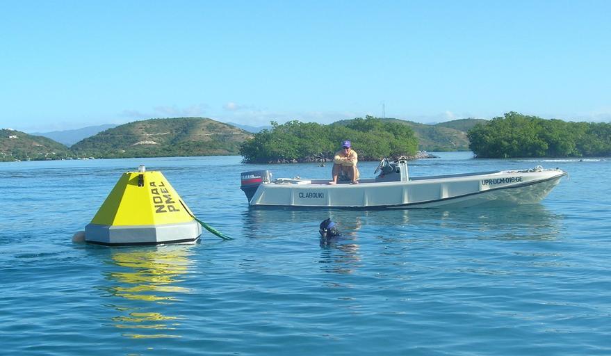
| Keywords: Oa-buoy-enrique-reef.jpg National Oceanic and Atmospheric Administration own Hendee 2009-01-16 MAP-CO2 Buoy deployed at Cayo Enrique Reef La Parguera Marine Preserve Puerto Rico 17 deg 57 224 N latitude 67 deg 03 066 W longitude Reefs of Puerto Rico Buoys Coral reefs Ocean Acidification Oceanographical instruments | ||||