MAKE A MEME
View Large Image
| View Original: | Northwest-relief.jpg (1239x1425) | |||
| Download: | Original | Medium | Small | Thumb |
| Courtesy of: | commons.wikimedia.org | More Like This | ||
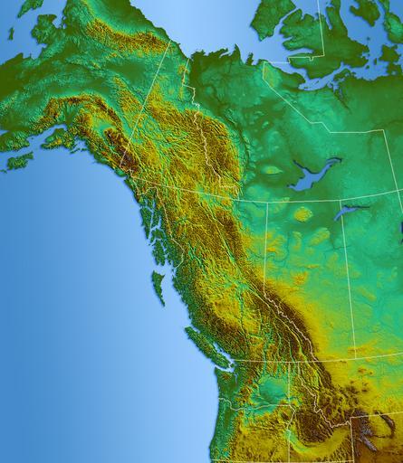
| Keywords: Northwest-relief.jpg Shaded Relief map of Pacific north-west USGS GIS data processed with GIS program re-assambled in photoshop 2006-07 Qyd All Topographic maps of British Columbia PD-USGov-USGS | ||||