MAKE A MEME
View Large Image
| View Original: | Northfield_Mount_Hermon_School_topo_map.jpg (4091x3391) | |||
| Download: | Original | Medium | Small | Thumb |
| Courtesy of: | commons.wikimedia.org | More Like This | ||
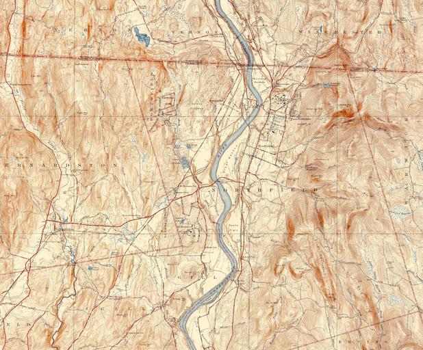
| Keywords: Northfield Mount Hermon School topo map.jpg Topographic map of the Northfield Mount Hermon School and its environs Gill Massachusetts USA This map shows both the Northfield and Mount Hermon campuses as well as the surrounding terrain town boundaries and roads This image is stitched together from the USGS 7 5 Minute Series maps for the Bernardston MA-VT Quadrangle 1946 and Northfield MA-NH-VT Quadrangle 1946 1946 United States Geological Survey US Department of the Interior Public domain - original work of the US Federal Government PD-USGov Northfield Mount Hermon School Northfield Massachusetts | ||||