MAKE A MEME
View Large Image
| View Original: | Northern Ireland map grey.png (775x558) | |||
| Download: | Original | Medium | Small | Thumb |
| Courtesy of: | commons.wikimedia.org | More Like This | ||
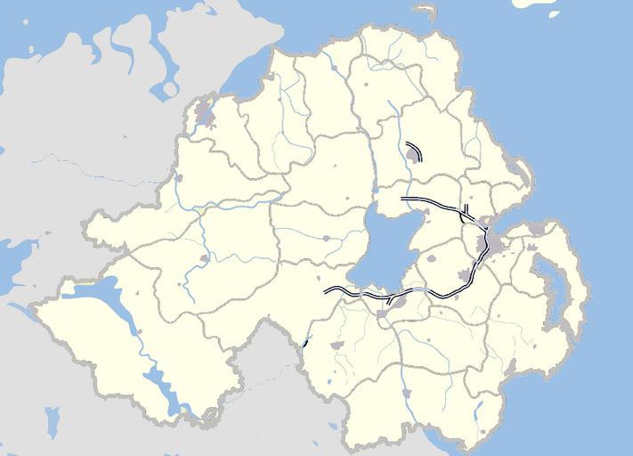
| Keywords: Northern Ireland map grey.png locator map Map of Northern Ireland and surrounding seas and territory Features built-up areas in grey water in light-blue and motorways in blue with white stripe Districts of Northern Ireland are marked in grey Based on en wp en Image Northern Ireland map - July 2007 png 2008-12-13 User hanhil based on work of en User Jza84 Jza84 Maps of Northern Ireland Locator maps of the United Kingdom Locator maps of districts of Northern Ireland | ||||