MAKE A MEME
View Large Image
| View Original: | Northern Ireland map - April 2007.png (775x558) | |||
| Download: | Original | Medium | Small | Thumb |
| Courtesy of: | commons.wikimedia.org | More Like This | ||
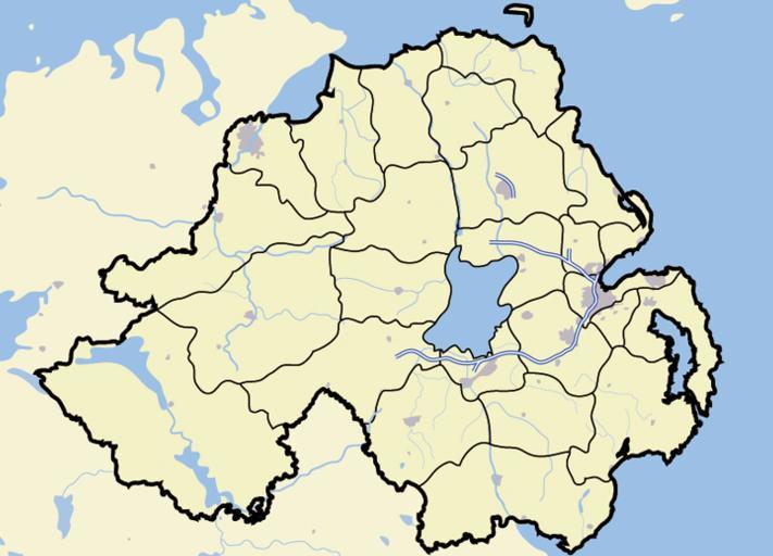
| Keywords: Northern Ireland map - April 2007.png Map of en Northern Ireland and surrounding seas and land Also features built-up areas in grey water in light-blue and motorways in blue with white stripe en wikipedia 2007-04-01 Jhamez84 wikipedia en Jhamez84 original upload log page en wikipedia Northern_Ireland_map_-_April_2007 png 2007-04-11 23 04 Jhamez84 775×558×8 447798 bytes <nowiki>adding district boundaries</nowiki> 2007-04-01 01 23 Jhamez84 775×558×8 394968 bytes <nowiki>Map of Northern Ireland and surrounding seas and land Also features built-up areas in grey water in light-blue and motorways in blue with white stripe </nowiki> Maps of Northern Ireland Locator maps of the United Kingdom Locator maps of districts of Northern Ireland | ||||