MAKE A MEME
View Large Image
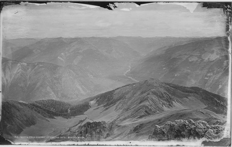
| View Original: | North_from_summit_of_Sultan_Mountain,_Baker's_Park,_Silverton_Quadrangle._San_Juan_County,_Colorado._-_NARA_-_517088.tif (3000x1913) | |||
| Download: | Original | Medium | Small | Thumb |
| Courtesy of: | commons.wikimedia.org | More Like This | ||
| Keywords: North from summit of Sultan Mountain, Baker's Park, Silverton Quadrangle. San Juan County, Colorado. - NARA - 517088.tif Scope and content General notes 517088 Local identifier 57-HS-484 Department of the Interior General Land Office U S Geological and Geographic Survey of the Territories 1874 - 06/30/1879 NARA-Author Jackson William Henry 1843-1942 Photographer 1116078 <br /> Still Picture Records Section Special Media Archives Services Division NWCS-S National Archives at College Park 8601 Adelphi Road College Park MD 20740-6001 1874 Record group Record Group 57 Records of the U S Geological Survey 1839 - 2008 Record group ARC 386 Hayden Survey William H Jackson Photographs compiled 1869 - 1878 Series ARC 516606 File unit File unit ARC Variant control numbers NAIL Control Number NWDNS-57-HS-484 yes Other versions <gallery> File North_from_summit_of_Sultan_Mountain _Baker's_Park _Silverton_Quadrangle _San_Juan_County _Colorado _-_NARA_-_517088 tif tif File North_from_summit_of_Sultan_Mountain _Baker's_Park _Silverton_Quadrangle _San_Juan_County _Colorado _-_NARA_-_517088 jpg jpg </gallery> NARA-cooperation PD-USGov NARA TIF images with categorized JPGs | ||||