MAKE A MEME
View Large Image
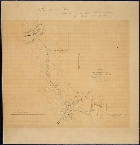
| View Original: | No._1._Map_of_Road_from_Pleasant_Hill_towards_Mansfield._Surveyed_by_Lieut._E._C._Miles,_Assistant_Engr.,_April_7,_1864._-_NARA_-_305635.jpg (3294x3412) | |||
| Download: | Original | Medium | Small | Thumb |
| Courtesy of: | commons.wikimedia.org | More Like This | ||
| Keywords: No. 1. Map of Road from Pleasant Hill towards Mansfield. Surveyed by Lieut. E. C. Miles, Assistant Engr., April 7, 1864. - NARA - 305635.jpg Scope and content General notes 305635 Local identifier 77-CWMF-M125 2 War Department Office of the Chief of Engineers 1818 - 09/18/1947 Cartographic and Architectural Records Section Special Media Archives Services Division NWCS-C National Archives at College Park 8601 Adelphi Road College Park MD 20740-6001 1864-04-07 Record group Record Group 77 Records of the Office of the Chief of Engineers 1789 - 1999 Record group ARC 406 Civil Works Map File compiled 1800 - 1947 Series ARC 305566 File unit File unit ARC Variant control numbers NAIL Control Number NWDNC-77-CWMF-M125 2 Other versions <gallery> File No _1 _Map_of_Road_from_Pleasant_Hill_towards_Mansfield _Surveyed_by_Lieut _E _C _Miles _Assistant_Engr _April_7 _1864 _-_NARA_-_305635 tif tif File No _1 _Map_of_Road_from_Pleasant_Hill_towards_Mansfield _Surveyed_by_Lieut _E _C _Miles _Assistant_Engr _April_7 _1864 _-_NARA_-_305635 jpg jpg </gallery> NARA-cooperation PD-USGov Old maps of the United States | ||||