MAKE A MEME
View Large Image
| View Original: | Near_Fort_Cummings.jpg (3600x2400) | |||
| Download: | Original | Medium | Small | Thumb |
| Courtesy of: | www.flickr.com | More Like This | ||
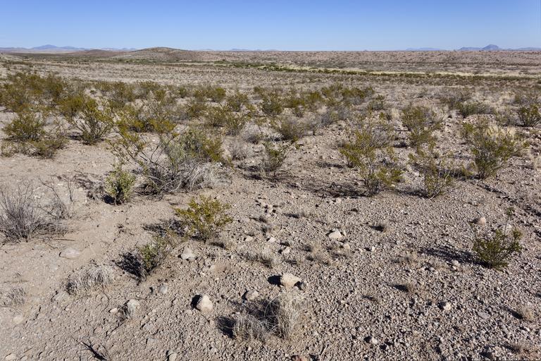
| Keywords: Southeast side of Cookes Range, south of Fort Cummings and east-northeast of Massacre Peak, 32.45009 -107.64001, Luna County, New Mexico, 13 Nov 2016. Creosote shrubland, with <i>Acourtia nana, Bahia absinthifolia, Flourensia cernua, Parthenium incanum, Descurainia pinnata, Prosopis glandulosa, Boerhavia triquetra, Dasyochloa pulchella, Muhlenbergia porteri, Pleuraphis mutica, Aloysia wrightii, Larrea tridentata,</i> etc. | ||||