MAKE A MEME
View Large Image
| View Original: | NE-Pacific Coast.jpg (1539x1313) | |||
| Download: | Original | Medium | Small | Thumb |
| Courtesy of: | commons.wikimedia.org | More Like This | ||
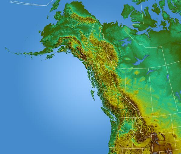
| Keywords: NE-Pacific Coast.jpg Shaded Relief map of Pacific north-west USGS GIS data computed in Global mapper captured and layered in photoshop 2006-08-01 Qyd All Image Pacific northwest-relief png lower res Topographic maps of British Columbia | ||||