MAKE A MEME
View Large Image
| View Original: | Namibia Natural Earth 1.jpg (1015x914) | |||
| Download: | Original | Medium | Small | Thumb |
| Courtesy of: | commons.wikimedia.org | More Like This | ||
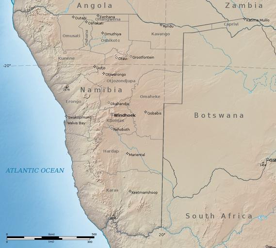
| Keywords: Namibia Natural Earth 1.jpg Namibia with cross-blended hypsometric tints Digital data and background raster from http //www naturalearthdata com www naturalearthdata com Digital data and background raster from http //www naturalearthdata com www naturalearthdata com all of which is in the public domainhttp //www naturalearthdata com/about/terms-of-use/ http //www naturalearthdata com/ Natural Earth and Kbh3rd 2012-08-01 Data combined projected and composed by Kbh3rd in Quantum GIS and finished with GIMP Polyconic projection centered on longitude 17 East In proj4 format the projection is described by +proj poly +lat_0 -22 5 +lon_0 17 +x_0 0 +y_0 0 +ellps WGS84 +towgs84 0 0 0 0 0 0 0 +units m +no_defs The world file for this map at full resolution Ž 1 015 Ă— 914 pixels in that projection is 1560 3334914691432 0 0 -1560 3334914691432 -631871 66219434037 646398 60920821712 In WGS 84 geographic coordinates the extents of the map are wikitable East Longitude South Latitude - Upper Left 11° 4' 16 78 16° 34' 9 83 - Lower Left 10° 28' 49 29 29° 22' 18 32 - Upper Right 25° 54' 34 38 16° 27' 51 61 - Lower Right 26° 47' 18 75 29° 10' 24 87 - Center 18° 33' 14 51 23° 5' 14 56 Cc-zero Topographic maps of Namibia Topographic shading Hypsometric tints Natural Earth Maps with polyconic projection 2012 maps Maps in English Created by Kbh3rd | ||||