MAKE A MEME
View Large Image
| View Original: | Munro-colour-contour-map-sec01.png (2395x1349) | |||
| Download: | Original | Medium | Small | Thumb |
| Courtesy of: | commons.wikimedia.org | More Like This | ||
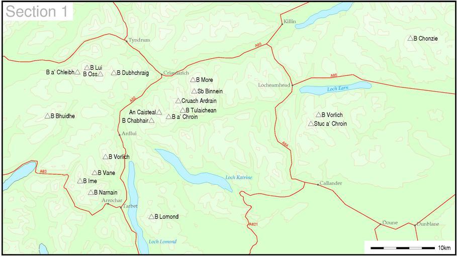
| Keywords: Munro-colour-contour-map-sec01.png Map of Munro hills in SMC section 1 Thruston These maps are created by my own Perl scripts from public domain sources The list of hills and the grid references are from Wikipedia The road outline are derived from saved GPS track logs The coastline is derived from data from the US Govt Coast Line Extractor web The 250m contours are derived from data from US Govt SRTM Digital Elevation Model web PD-USGov-NASA-SRTM Maps of mountains of Scotland | ||||