MAKE A MEME
View Large Image

| View Original: | MNTopo2.GIF (1450x1540) | |||
| Download: | Original | Medium | Small | Thumb |
| Courtesy of: | commons.wikimedia.org | More Like This | ||
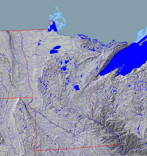
| Keywords: MNTopo2.GIF Topographical map of Minnesota in central North America from National Atlas Mapmaker http //www nationalatlas gov/natlas/Natlasstart asp showing state land and riverine boundaries shaded relief and watercourses Image without borders at Commons at Image MNTopo GIF Geology of Minnesota Geography of Minnesota Maps of Minnesota PD-USGov | ||||