MAKE A MEME
View Large Image
| View Original: | Military_map_of_Mons,_1702.jpg (886x669) | |||
| Download: | Original | Medium | Small | Thumb |
| Courtesy of: | commons.wikimedia.org | More Like This | ||
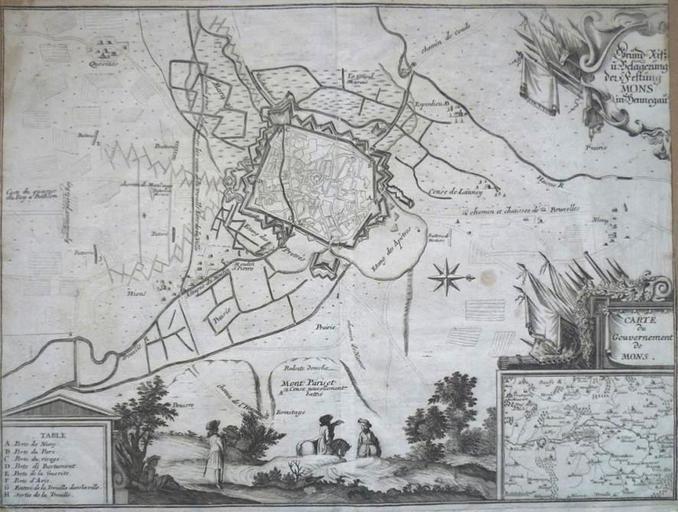
| Keywords: Military map of Mons, 1702.jpg en Military map of Mons printed 1702 when under French control Cartographer Merian Matteo Size 28x38 cm Public Domain unknown author 2010-03-02 PD-old Old maps of Mons Hainaut | ||||