MAKE A MEME
View Large Image
| View Original: | Mexico states map small.png (450x312) | |||
| Download: | Original | Medium | Small | Thumb |
| Courtesy of: | commons.wikimedia.org | More Like This | ||
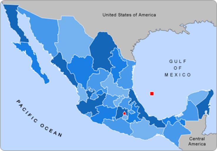
| Keywords: Mexico states map small.png Small map of Mexico in use in the clickable map in various Wikipedias Alex Covarrubias AlexCovarrubias AlexCovarrubias original upload log page en wikipedia Mexico_states_map_small png 2007-09-28 04 55 AlexCovarrubias 450×312× 74224 bytes <nowiki>Changed border color same used by Wikipedia thumbs </nowiki> 2007-09-28 04 52 AlexCovarrubias 450×312× 73917 bytes <nowiki>Rounded borders</nowiki> 2007-03-16 17 35 AlexCovarrubias 450×312× 65230 bytes <nowiki></nowiki> 2007-03-16 17 28 AlexCovarrubias 450×312× 69110 bytes <nowiki> Summary Political division of Mexico Map created for the Template Mexico Labelled Map small Designed by Alex Covarrubias Licensing </nowiki> Maps of Mexico | ||||