MAKE A MEME
View Large Image
| View Original: | Meigs field USGS 2002.jpg (Cropped, Soldier Field).png (1013x1502) | |||
| Download: | Original | Medium | Small | Thumb |
| Courtesy of: | commons.wikimedia.org | More Like This | ||
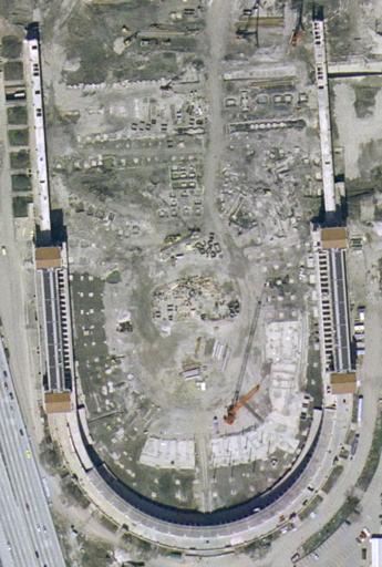
| Keywords: Meigs field USGS 2002.jpg (Cropped, Soldier Field).png en Cropped image Satellite view of Soldier Field 2016-01-20 USGS The National Map via MSR Maps formerly TerraServer-USA http //msrmaps com/image aspx T 4 S 11 Z 16 X 1123 Y 11585 W 3 United States Geological Survey other versions thumb 220px right PD-USGov Soldier Field Soldier Field in 2002 | ||||
.png)