MAKE A MEME
View Large Image
| View Original: | May 26–31, 2013 tornado outbreak map.png (1035x536) | |||
| Download: | Original | Medium | Small | Thumb |
| Courtesy of: | commons.wikimedia.org | More Like This | ||
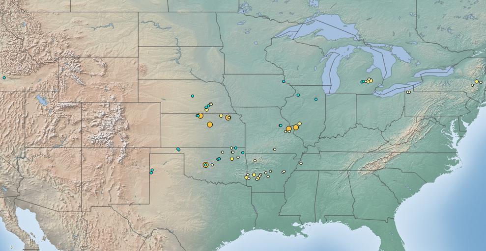
| Keywords: May 26–31, 2013 tornado outbreak map.png en This map depicts the starting locations of tornadoes which occurred during the May 26 “31 2013 tornado outbreak for which the information is available This map was created with QGIS and it uses information provided by the National Oceanic and Atmospheric Administration own Dustin V S 2014-05-20 Cc-zero Maps of North Americian tornadoes | ||||