MAKE A MEME
View Large Image
| View Original: | Maury 1853 carte bathymétrique.jpg (600x474) | |||
| Download: | Original | Medium | Small | Thumb |
| Courtesy of: | commons.wikimedia.org | More Like This | ||
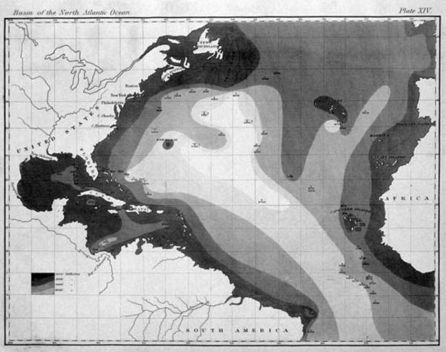
| Keywords: Maury 1853 carte bathymétrique.jpg fr La première carte bathymétrique d'un océan 1853 dans Explanations and Sailing Directions to Accompany the Wind and Current Charts 2003-03-31 17 05 30 http //oceanexplorer noaa gov/history/readings/vicissitudes/media/gulf html Matthew Fontaine Maury other versions PD-old-70-1923 Geography maps Matthew Fontaine Maury | ||||