MAKE A MEME
View Large Image
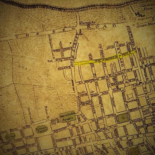
| View Original: | Marylebone Map Clipping from Neuester Grundriss von London Westminster und Southwark 1770.jpg (651x650) | |||
| Download: | Original | Medium | Small | Thumb |
| Courtesy of: | commons.wikimedia.org | More Like This | ||
| Keywords: Marylebone Map Clipping from Neuester Grundriss von London Westminster und Southwark 1770.jpg en Clip from map of London Westminster and Southwark drawn by Gottlob Liebe showing Marylebone in circa 1770 Weymouth Street outlined yellow had been recently laid out for development 1770 LinkNeuester Grundriss von London Westminster und Southwark Plan Kupferdruck ; 36 x 67 cm c 1770 Liebe Gottlob August other versions 51 518615 -0 151614 PD-old-70-1923 Marylebone Weymouth Street London 1770s Portland Place | ||||