MAKE A MEME
View Large Image
| View Original: | Markham-Unionville (riding map).png (1049x1221) | |||
| Download: | Original | Medium | Small | Thumb |
| Courtesy of: | commons.wikimedia.org | More Like This | ||
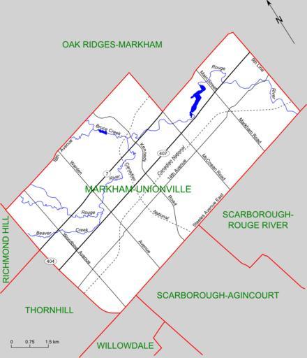
| Keywords: Markham-Unionville (riding map).png Map of the Ontario federal and provincial riding of Markham-Unionville boundaries defined in 2003 and adopted federally in 2004 and provincially in 2007 Self-made based on http //www elections ca/scripts/pss/PopUpWindows asp ED 35045 map at Elections Canada web site 2008-01-19 Slyguy Maps of Ontario federal electoral districts Maps of Ontario provincial electoral districts Maps of Markham | ||||
.png)