MAKE A MEME
View Large Image
| View Original: | Marine Atlantic ferry ports.png (534x747) | |||
| Download: | Original | Medium | Small | Thumb |
| Courtesy of: | commons.wikimedia.org | More Like This | ||
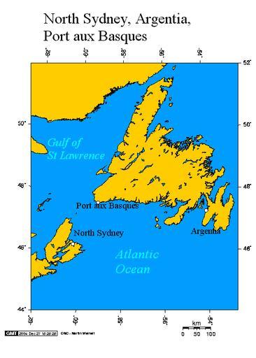
| Keywords: Marine Atlantic ferry ports.png Argentia and Port aux Basques Newfoundland and North Sydney Nova Scotia This map created using this http //www aquarius geomar de/omc/ online map creation tool The following co-ordinates were used for the longitude and latitude -53 9864 47 3022 Argentia -59 1364 47 5721 Port aux Basques -60 2524 46 2065 North Sydney This map uses the Lambert Azimuthal projection See also thumb left Avalon Peninsular thumb left Orthographic projection centred on the Avalon Peninsular Transfered from http //en wikipedia org en wikipedia 2004-12-27 Original uploader was Geo Swan at http //en wikipedia org en wikipedia GFDL-WITH-DISCLAIMERS; Released under the GNU Free Documentation License GFDL-en redundant cc-by-sa-3 0 original upload log page en wikipedia Marine_Atlantic_ferry_ports png 2005-08-03 03 20 Geo Swan 534×747×8 22646 bytes <nowiki>Reverted to earlier revision</nowiki> 2005-08-03 03 19 Geo Swan 534×747×8 35691 bytes <nowiki></nowiki> 2004-12-27 15 00 Geo Swan 534×747×8 22646 bytes <nowiki>another version</nowiki> 2004-12-27 14 42 Geo Swan 514×601×8 19753 bytes <nowiki>better map of North Sydney Nova Scotia Argentia and Port aux Basques Newfoundland</nowiki> 2004-12-27 03 35 Geo Swan 514×532×8 14959 bytes <nowiki>Argentia and Port aux Basques Newfoundland and North Sydney Nova Scotia</nowiki> Maps of Newfoundland and Labrador Maps of Nova Scotia Ferries in Atlantic Canada Marine Atlantic Drawings by Geo Swan | ||||