MAKE A MEME
View Large Image
| View Original: | Maramure┼¤_Josephinische_Landesaufnahme_pg33-05.jpg (8617x5784) | |||
| Download: | Original | Medium | Small | Thumb |
| Courtesy of: | commons.wikimedia.org | More Like This | ||
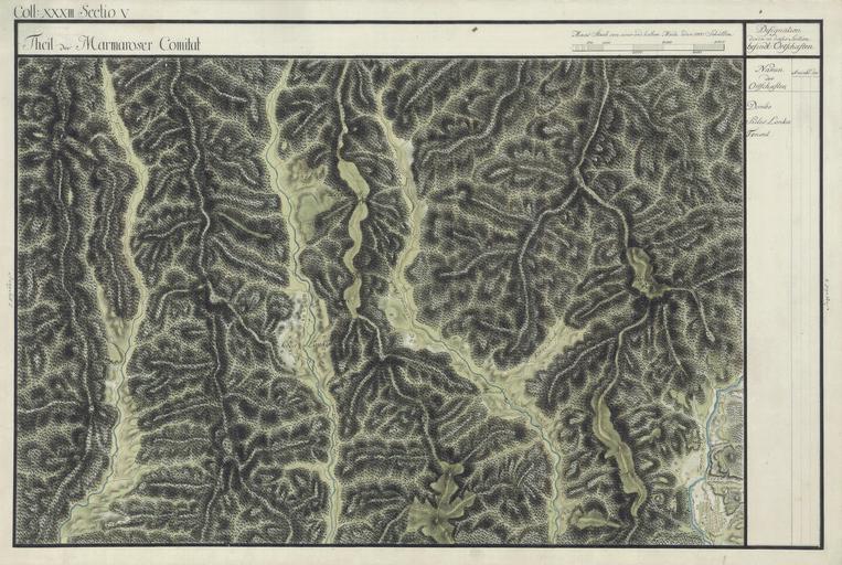
| Keywords: Maramure┼¤ Josephinische Landesaufnahme pg33-05.jpg wikitable style margin 1em auto 1em auto width 80 Name shown on the map<br>Nume din hart─ā Administrative unit<br>Unitate administrativ─ā Romanian name<br>Numele rom├ónesc Hungarian name<br>Numele unguresc German name<br>Numele german Ukrainian name<br>Numele ucrainian Country today<br>┼óara de ast─āzi - Dombo Comitatul Maramure╚Ö<br>M├Īramaros v├Īrmegye<br>Komitat Maramuresch D├ómbu Domb├│ K├Īrp├Ītalja ąöčāą▒ąŠą▓ąĄ Dubove Ukraine - Szeles Lonka M├Īramaros v├Īrmegye Sz├®leslonka ą©ąĖč ąŠą║ąĖą╣ ąøčāą│ Ukraine - Teresul M├Īramaros v├Īrmegye Tereselpatak ąóą░č ą░čüč¢ą▓ą║ą░ ąóčÅčćč¢ą▓čüčīą║ąĖą╣ č ą░ą╣ąŠąĮ Ukraine - Maramure┼¤ County 1769-1773 Josephinische Landesaufnahme pg 33-05 Harta Iosefin─ā a Maramure┼¤ului 1769-1773 Josephinische Landesaufnahme pg 33-05 ├¢sterreichisches Staatsarchiv Kriegsarchiv Historische Milit├żrkarte der ├Čsterreichisch-ungarischen Monarchie 1782-1785 PD-old-100 Clickable Map of the Maramure┼¤ County M├ĪramarosCountyJosephinischeLandesaufnahme Josephinische Landaufnahme | ||||