MAKE A MEME
View Large Image
| View Original: | Mapa_1801_detalle_alto_tormes.jpg (886x543) | |||
| Download: | Original | Medium | Small | Thumb |
| Courtesy of: | commons.wikimedia.org | More Like This | ||
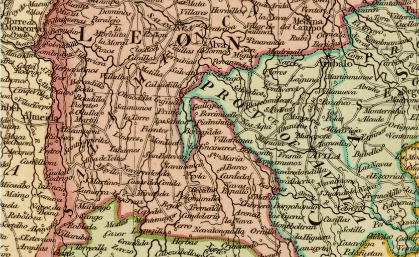
| Keywords: Mapa 1801 detalle alto tormes.jpg es Detalle del mapa A new map of Spain and Portugal divided into their respective Kingdoms and Provinces from the latest authorities realizado en 1801 por John Cary 1801-01-09 Institut Cartogràfic de Catalunya John Cary other versions PD-old-70-1923 Unidentified maps Old maps of Spain Uploaded with UploadWizard | ||||