MAKE A MEME
View Large Image

| View Original: | Map of Vigo County Indiana Townships.svg (512x512) | |||
| Download: | Original | Medium | Small | Thumb |
| Courtesy of: | commons.wikimedia.org | More Like This | ||
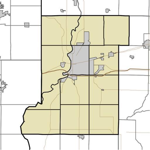
| Keywords: Map of Vigo County Indiana Townships.svg This is a map of Vigo County Indiana USA divided into townships Map_highlighting_Prairieton_Township _Vigo_County _Indiana svg 2010-05-14 13 48 UTC Map_highlighting_Prairieton_Township _Vigo_County _Indiana svg Omnedon derivative work Sweet kate <span class signature-talk >talk</span> My own work using freely-available TIGER data and custom-written MapSc</nowiki> Uploaded with derivativeFX Maps of Vigo County Indiana Location maps of Indiana | ||||