MAKE A MEME
View Large Image
| View Original: | MAP Strandbahn Rostock-WAR-MGH 1910-1945.svg (1900x2070) | |||
| Download: | Original | Medium | Small | Thumb |
| Courtesy of: | commons.wikimedia.org | More Like This | ||
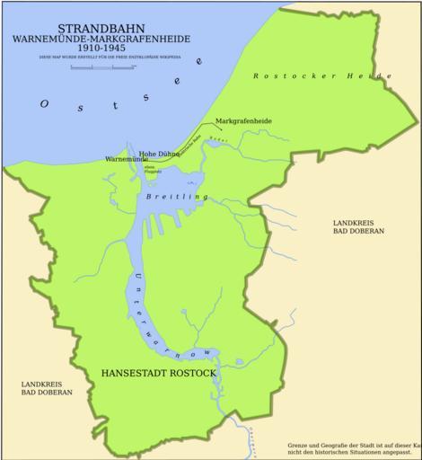
| Keywords: MAP Strandbahn Rostock-WAR-MGH 1910-1945.svg Karte des Verlaufs der historischen Rostocker Strandbahn 1910-1945 own 2006-08-04 N3MO Image MAP_Strandbahn_Rostock-WAR-MGH_1910-1945 png Public transport maps of Rostock SVG maps of Rostock | ||||