MAKE A MEME
View Large Image

| View Original: | Map petworth.jpg (1961x2397) | |||
| Download: | Original | Medium | Small | Thumb |
| Courtesy of: | commons.wikimedia.org | More Like This | ||
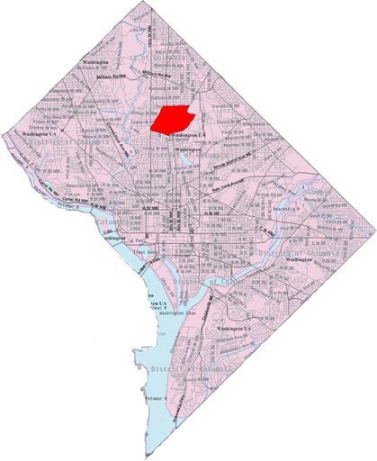
| Keywords: Map petworth.jpg This image is a modified version of a self-generated reference map from the U S Census Bureau's American Factfinder at http //factfinder census gov/ by Wikipedia user Msclguru en wikipedia 2006-05-18 Msclguru wikipedia en PD-USGov-DOC-Census Msclguru Original upload log en wikipedia Map_petworth jpg wikitable - 2012-09-26 16 31 1961×2397× 485968 bytes S2000chops <nowiki>Reverted to version as of 16 22 26 September 2012</nowiki> - 2012-09-26 16 26 1961×2397× 527470 bytes IMGoph <nowiki>The person claiming that this was a tax neighborhood map is mistaken This map represents the original platted neighborhood from early in the last century </nowiki> - 2012-09-26 16 22 1961×2397× 485968 bytes S2000chops <nowiki>Map is corrected to show the proper extent of Petworth based both on local knowledge and confirmed by DC's City Neighborhood boundary The previous map appears to be based on Tax Neighborhood boundaries or historical borders Modern Petworth is ce </nowiki> - 2006-12-20 14 23 1961×2397× 527470 bytes Msclguru <nowiki>This image is a modified version of a self-generated reference map from the U S Census Bureau's American Factfinder at http //factfinder census gov/ by Wikipedia user Msclguru PD-USGov </nowiki> - 2006-06-14 16 38 1961×2397× 200805 bytes Msclguru <nowiki>This image is a modified version of a self-generated reference map from the U S Census Bureau's American Factfinder at http //factfinder census gov/ by Wikipedia user Msclguru PD-USGov </nowiki> - 2006-05-18 14 31 671×842× 368957 bytes Msclguru <nowiki>Personal edits to public domain document</nowiki> - 2006-05-18 12 19 671×842× 367821 bytes Msclguru <nowiki>Personal edits to public domain document </nowiki> Maps of Washington D C | ||||