MAKE A MEME
View Large Image
| View Original: | Map penn branch.jpg (1961x2397) | |||
| Download: | Original | Medium | Small | Thumb |
| Courtesy of: | commons.wikimedia.org | More Like This | ||
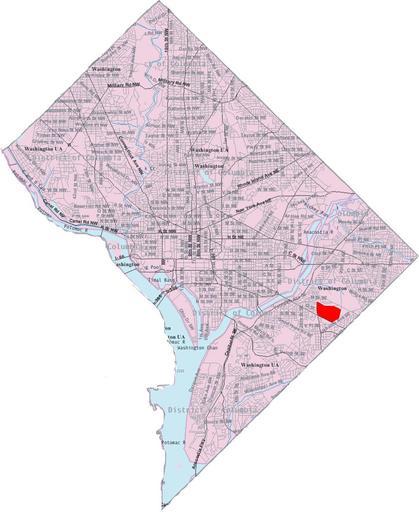
| Keywords: Map penn branch.jpg This image is a modified version of a self-generated reference map from the U S Census Bureau's American Factfinder at http //factfinder census gov/ by Wikipedia user Msclguru en wikipedia 2007-02-06 Msclguru wikipedia en PD-USGov-DOC-Census Msclguru Original upload log en wikipedia Map_penn_branch jpg wikitable of the neighborhood; the previous map seemed to be actually a map of Fairfax Village I created this map based on the boundaries listed in the Wikipedia article Looking at a few sources there seems to </nowiki> - 2007-02-06 12 57 1961×2397× 532935 bytes Msclguru <nowiki>This image is a modified version of a self-generated reference map from the U S Census Bureau's American Factfinder at http //factfinder census gov/ by Wikipedia user Msclguru PD-USGov </nowiki> Maps of Washington D C | ||||