MAKE A MEME
View Large Image
| View Original: | Map of the Oregon Territory by the U. S. Ex. Ex.png (7000x4843) | |||
| Download: | Original | Medium | Small | Thumb |
| Courtesy of: | commons.wikimedia.org | More Like This | ||
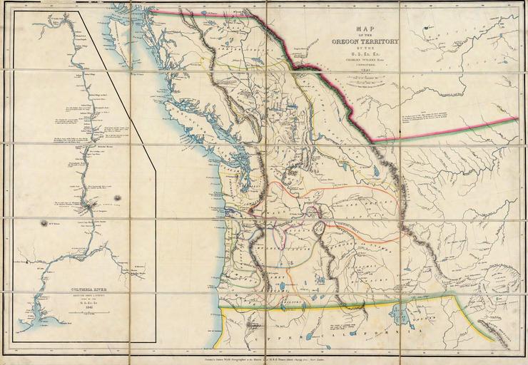
| Keywords: Map of the Oregon Territory by the U. S. Ex. Ex.png en Map of the Oregon Territory by the U S Ex Ex Charles Wilkes Esqr Commander 1841 Re - Published by James Wyld Charing Cross East London 1844 with inset Columbia River Reduced from a Survey made by the U S Ex Ex 1841 ru ąÜą░č čéą░ č鹥č č ąĖčéąŠč ąĖąĖ ą×č ąĄą│ąŠąĮ čüą┤ąĄą╗ą░ąĮąĮą░čÅ čŹą║čüą┐ąĄą┤ąĖčåąĖąĄą╣ ąŻąĖą╗ą║čüą░ ą▓ 1841 ą│ąŠą┤čā United States Exploring Expedition; Charles Wilkes; James Wyld Photoshop/n 1844 http //www davidrumsey com/luna/servlet/s/vo55u9 David Rumsey Historical Map Collection PD-Art-100 map date Oregon Territory N 40/54 -136/-102 Case Map en James Wyld print date 1844 http //www davidrumsey com/ David Rumsey Historical Map Collection accession number 5584001 Size cm 80 60 s it appears to be a much different map other versions <gallery>Pacific-Northwest jpg</gallery> help warp Old maps of the United States Pacific Northwest United States Exploring Expedition Oregon Country Old maps of Oregon James Wyld Maps of Native American tribal territories Nisqually Chinookan Walla Walla Nez Perce Cayuse Shoshoni Klamath David Rumsey Historical Map Collection | ||||