MAKE A MEME
View Large Image

| View Original: | Map of Lane Co, Ks, USA.png (834x794) | |||
| Download: | Original | Medium | Small | Thumb |
| Courtesy of: | commons.wikimedia.org | More Like This | ||
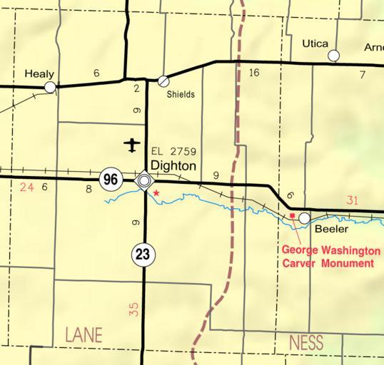
| Keywords: Map of Lane Co, Ks, USA.png This map of Lane County Kansas USA is copied at a resolution of 300 pixels/inch from the original PDF file Kansas 2005 “2006 Official Transportation Map http //www ksdot org/maps asp map legend 2005-02 Designed and published by the Kansas Department of Transportation Rschen7754 ” Kansas Department of Transportation This map is published by the Kansas Department of Transportation and is distributed to the public free of charge KDOT makes no warranties guarantees or representations for accuracy of this information and assumes no liability for errors or omissions Maps produced using tax payer dollars are free for public use Maps of Lane County Kansas | ||||