MAKE A MEME
View Large Image
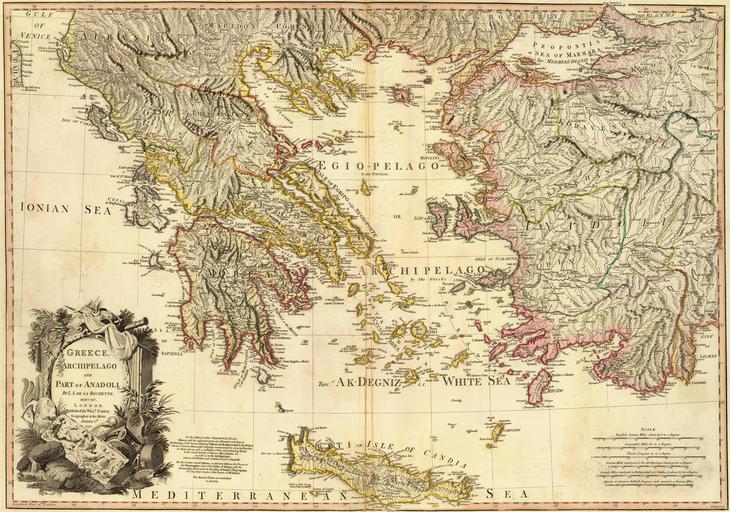
| View Original: | Map of Greece, Archipelago and part of Anadoli; Louis Stanislas d'Arcy Delarochette 1791.jpg (9411x6605) | |||
| Download: | Original | Medium | Small | Thumb |
| Courtesy of: | commons.wikimedia.org | More Like This | ||
| Keywords: Map of Greece, Archipelago and part of Anadoli; Louis Stanislas d'Arcy Delarochette 1791.jpg Greece Archipelago and part of Anadoli Published for Willm Faden Geographer to the King W Palmer sculp Scale 1 350 000 http //www davidrumsey com/luna/servlet/detail/RUMSEY~8~1~24845~960053 trs 120 mi 23 qvq mgid 3A2728 1791-01-01 Louis Stanislas d'Arcy Delarochette PD-old-100-1923 Louis Delarochette Greece Old maps of Greece Delarochette 1791 maps 18th-century maps of Greece Maps with cartouches David Rumsey Historical Map Collection Uploads by Mattes from external sources User Mattes/Contributions/Topics/Cartography 17th-century maps of Greece Maps with cartouches extracted large image ImageNote 1 188 3779 2106 2684 9411 6605 2 299px ImageNoteEnd 1 | ||||