MAKE A MEME
View Large Image
| View Original: | Map_Garston_1856.jpg (800x605) | |||
| Download: | Original | Medium | Small | Thumb |
| Courtesy of: | commons.wikimedia.org | More Like This | ||
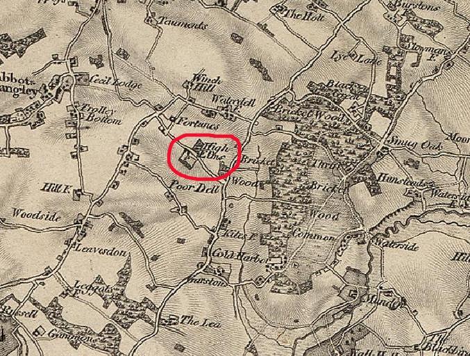
| Keywords: Map Garston 1856.jpg en Map of Garston near Watford Hertfordshire in 1856 Ordnance Survey 1856 Sheet 7 Extract from map author 1856 High Elms Manor PD-old | ||||