MAKE A MEME
View Large Image
| View Original: | Map_frisian_islands_north_1910.jpg (792x1175) | |||
| Download: | Original | Medium | Small | Thumb |
| Courtesy of: | commons.wikimedia.org | More Like This | ||
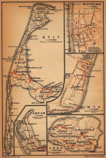
| Keywords: Map frisian islands north 1910.jpg North Frisian Islands Amrum Föhr Sylt http //www lib utexas edu/maps/historical/baedeker_n_germany_1910/frisian_islands_north_1910 jpg 1910 Northern Germany as far as the Bavarian and Austrian Frontiers; Handbook for Travellers by Karl Baedeker Fifteenth Revised Edition Leipzig Karl Baedeker; New York Charles Scribner's Sons 1910 Courtesy of the University of Texas Libraries The University of Texas at Austin http //www lib utexas edu/maps/map_sites/hist_sites html PD-old Maps of islands of Germany in the North Sea Old maps of Schleswig-Holstein Maps of Kreis Nordfriesland Maps of Sylt History of Sylt Sylter Inselbahn Schleswig-Holstein in the 1910s | ||||