MAKE A MEME
View Large Image
| View Original: | Map Ermsdorf.PNG (203x270) | |||
| Download: | Original | Medium | Small | Thumb |
| Courtesy of: | commons.wikimedia.org | More Like This | ||
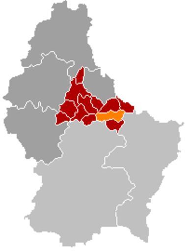
| Keywords: Map Ermsdorf.PNG Ermsdorf municipality location valid until 1 January 2012 Own edit of Kanton DiekirchLocatie png 2005-10-17 own assumed Markussep Maps of former communes of Luxembourg Ermsdorf Map DEFAULTSORT Ermsdorf | ||||