MAKE A MEME
View Large Image
| View Original: | Map - Deutscher Bund 1820.png (600x454) | |||
| Download: | Original | Medium | Small | Thumb |
| Courtesy of: | commons.wikimedia.org | More Like This | ||
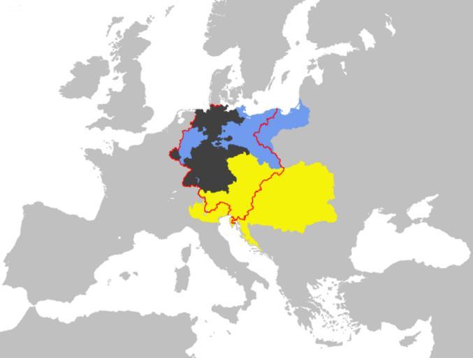
| Keywords: Map - Deutscher Bund 1820.png Map-GermanConfederation svg en 52 Pickup Map illustrating the borders of the German Confederation in 1820 52 Pickup Atlas entries in progress fase 9 Maps of the German Confederation Austria in the 19th century Maps of Austria-Hungary | ||||