MAKE A MEME
View Large Image

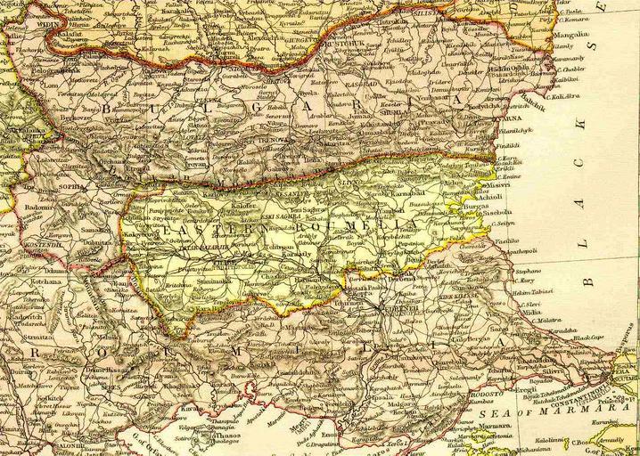
| View Original: | Map_of_Bulgaria_and_Eastern_Rumelia_in_1882.jpg (1420x1012) | |||
| Download: | Original | Medium | Small | Thumb |
| Courtesy of: | commons.wikimedia.org | More Like This | ||
| Keywords: Map of Bulgaria and Eastern Rumelia in 1882.jpg A map of the Principality of Bulgaria and Eastern Rumelia before the unification of Bulgaria in 1885 The map is from an 1882 atlas Image history at en del cur 09 01 6 September 2005 TodorBozhinov 1420x1012 263299 bytes A map of the Principality of PD-old Old maps of Bulgaria 19th-century maps of the Balkans Eastern Rumelia | ||||