MAKE A MEME
View Large Image
| View Original: | Lower Shawneetown overview.jpg (2816x2112) | |||
| Download: | Original | Medium | Small | Thumb |
| Courtesy of: | commons.wikimedia.org | More Like This | ||
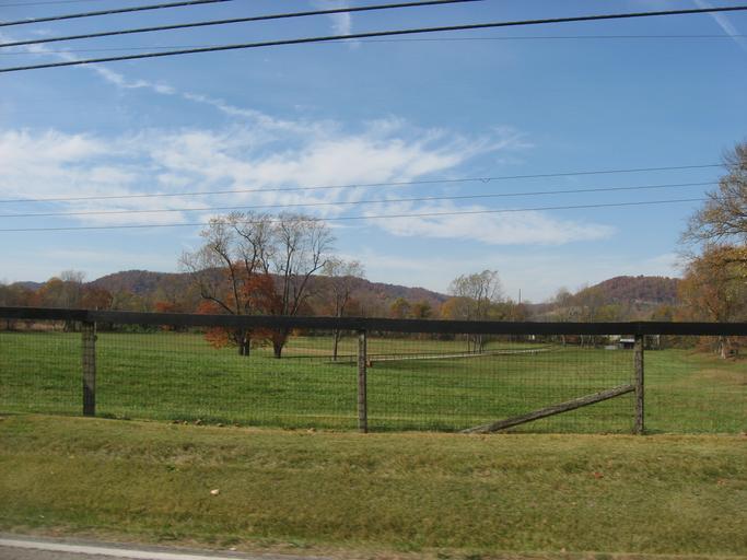
| Keywords: Lower Shawneetown overview.jpg 85003334 38 42 49 N 83 1 26 5 W Fields on the northwestern side of w Kentucky Route 8 immediately east of Bentley Lane in South Portsmouth Kentucky South Portsmouth Kentucky United States Part of this field was the site of Lower Shawneetown ; it is an archaeological site and listed on the National Register of Historic Places and it forms part of a Register-listed historic districts in the United States historic district the Lower Shawneetown Archeological District Own 2012-10-23 User Nyttend Nyttend Fort Ancient culture Historic districts in Kentucky National Register of Historic Places in Greenup County Kentucky Scenery pictures by User Nyttend | ||||