MAKE A MEME
View Large Image
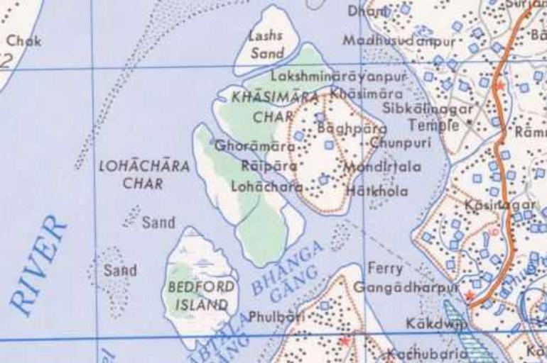
| View Original: | Lohachara.jpg (490x326) | |||
| Download: | Original | Medium | Small | Thumb |
| Courtesy of: | commons.wikimedia.org | More Like This | ||
| Keywords: Lohachara.jpg Map of Lohachara Island in India 50 quality map by U S Army Map Service Compiled in 1954 Maps_ams_contai_india_nf-45-11-4 jpg 2010-03-31 04 25 UTC Maps_ams_contai_india_nf-45-11-4 jpg U S Army Map Service Corps of Engineers derivative work Cogiati <span class signature-talk >talk</span> cropped Cogiati Maps_ams_contai_india_nf-45-11-4 jpg PD-USGov original upload log This image is a derivative work of the following images File Maps_ams_contai_india_nf-45-11-4 jpg licensed with PD-USGov 2007-01-10T07 44 39Z SEWilco 5000x3770 1388221 Bytes <nowiki> 50 quality copy of Contai India map by U S Army Map Service Compiled in 1954 http //www lib utexas edu/maps/ams/india/nf-45-11 jpg linked from http //www lib utexas edu/maps/ams/india/</nowiki> Uploaded with derivativeFX Bay of Bengal Maps of the history of West Bengal PCL Small images Sundarbans India maps by U S Army Map Service | ||||