MAKE A MEME
View Large Image
| View Original: | LocationAsia transparent.png (2759x1404) | |||
| Download: | Original | Medium | Small | Thumb |
| Courtesy of: | commons.wikimedia.org | More Like This | ||
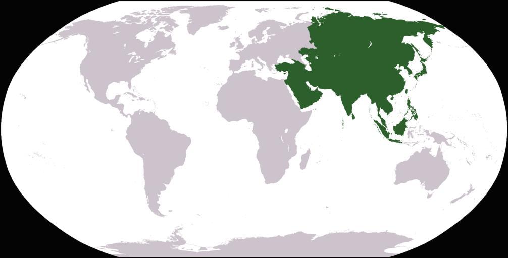
| Keywords: LocationAsia transparent.png World map depicting Asia; map adapted from PDF world map at CIA World Fact Book Weltkarte mit dem Versuch die Grenzen Asiens darzustellen; leider weicht sie in Russland/Kasachstan Ural-Fluss und Ural-Gebirge im Kausasus entspricht sie nicht der im deutschsprachigen Raum vorherrchenden Manytschniederungs-Grenze sondern leider nur Grob dem Kaukasushauptkamm Eine Abwandlung der Weltkarte des CIA World Fact Book Asien op der Weltkaart Mapa świata z zaznaczonym obszarem Azji; mapa uzyskana z mapy w fomracie PDF na CIA World Fact Book Image LocationAsia png previous https //www cia gov/library/publications/the-world-factbook/docs/refmaps html 2005-05-27 first upload to commons User Nux previous User Dado - first upload to commons Public Domain Image LocationAsia png no transparency Other color depth 256 Colors transparency On PD-USGov-CIA-WF Locator maps of Asia Locator maps of Asia green and grey scheme Maps of the world indicating regions ImageNote 1 1359 245 34 55 2759 1404 2 d ImageNoteEnd 1 | ||||