MAKE A MEME
View Large Image
| View Original: | L'Isle_de_France_et_lieux_circövoysins.jpg (5207x3941) | |||
| Download: | Original | Medium | Small | Thumb |
| Courtesy of: | commons.wikimedia.org | More Like This | ||
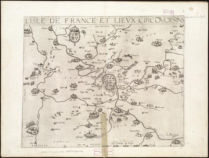
| Keywords: L'Isle de France et lieux circövoysins.jpg Map of the province of L'Isle de France showing the city of Paris and the areas adjacent Appears in M Tavernier's Théâtre géographique du Royaume de France Paris 1634 Scale ca 1 380 160 1643 Size cm 41 31 Institution Boston Public Library object history exhibition history credit line http //maps bpl org/id/14452 Norman B Leventhal Map Center accession number G5833 I3 1643 L57x PD-100 Images from the Norman B Leventhal Map Center Old maps of Île-de-France 1643 1643 maps Melchior Tavernier | ||||