MAKE A MEME
View Large Image

| View Original: | Lippe.png (1469x1059) | |||
| Download: | Original | Medium | Small | Thumb |
| Courtesy of: | commons.wikimedia.org | More Like This | ||
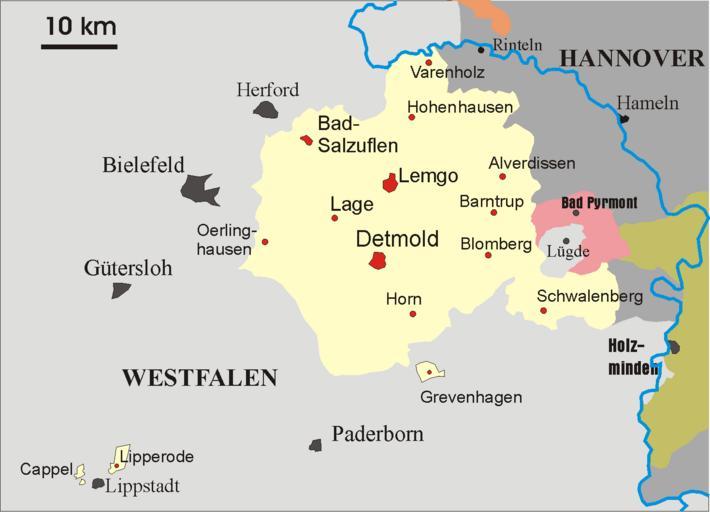
| Keywords: Lippe.png Map of the principality later free state of Lippe 1815 “1945 From German Wikipedia and according to information there Gemeinfrei public domain Störfix Maps of the German Confederation Maps of the North German Confederation Maps of the German Empire Maps of the history of North Rhine-Westphalia Maps of Principality of Lippe | ||||