MAKE A MEME
View Large Image
| View Original: | Lienkianghien.JPG (683x619) | |||
| Download: | Original | Medium | Small | Thumb |
| Courtesy of: | commons.wikimedia.org | More Like This | ||
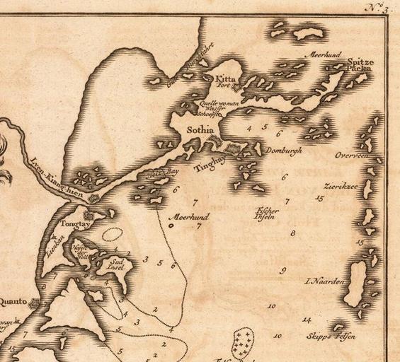
| Keywords: Lienkianghien.JPG en An 18th century atlas of Bay of Foochow by the Dutch including the lower course of Min River from Fuzhou to the estuary and Luoyuan Bay zh 18дё–зәӘиҚ·е…°дәәжү з»ҳзҡ„ зҰҸе·һж№ҫ е °еӣҫпјҢеҢ…еҗ«дәҶй—ҪжұҹдёӢжёёд»ҺзҰҸе·һиҮій—Ҫжұҹе…Ҙжө·еҸЈзҡ„еІӣеұҝе’ҢзҪ—жәҗж№ҫзӯүе °еҢә cdo 18 siГ©-gГ© hГІМӨ-lГ ng-nГЁМӨng uГў gГ¬ HГіk-ciЕӯ-uДғng dГӘ-dГ№ bЕҸМӨ-guГЎk iГ№ HГіk-ciЕӯ gГЎu MГ¬ng-gД•МӨng-kДҒu Д«-gГ©k LГІМӨ-nguГІng-uДғng Г©k-dГўi dГӘ-kб№іМҶ Bay_von_Hocsieu jpg 2011-06-15 12 01 UTC Bay_von_Hocsieu jpg Schley derivative work Lianxx <span class signature-talk >talk</span> Schley Bay_von_Hocsieu jpg Cc-pd-mark-footer Cc-zero PD-old Original upload log This image is a derivative work of the following images File Bay_von_Hocsieu jpg licensed with Cc-pd-mark-footer Cc-zero PD-old 2009-11-01T23 17 58Z LuHungnguong 1203x890 499070 Bytes <nowiki> en An 18th century atlas of Bay of Foochow by the Dutch including the lower course of Min River from Fuzhou to the estuary and Luoyuan Bay zh 18дё–зәӘиҚ·е…°дәәжү з»ҳзҡ„ зҰҸе·һж№ҫ </nowiki> Uploaded with derivativeFX Maps of the history of Fujian History of Fuzhou Jacobus van der Schley Maps of the Qing Dynasty | ||||