MAKE A MEME
View Large Image
| View Original: | Leipzig topo with landmarks.jpg (535x528) | |||
| Download: | Original | Medium | Small | Thumb |
| Courtesy of: | commons.wikimedia.org | More Like This | ||
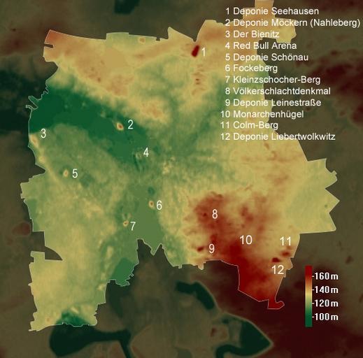
| Keywords: Leipzig topo with landmarks.jpg SRTM-data http //dds cr usgs gov/srtm/version2_1/SRTM3/ ; boundary was drawn by myself with GIMP SRTM-Daten http //dds cr usgs gov/srtm/version2_1/SRTM3/ ; Grenze wurde von mir mit GIMP gezeichnet Leipzig_topo jpg 2011-08-14 18 19 UTC Leipzig_topo jpg Wolf170278 derivative work Wolf170278 <span class signature-talk >talk</span> de Benutzer Martin Geisler added some landmarks and asked me to upload it Leipzig_topo jpg Cc-zero Original upload log This image is a derivative work of the following images File Leipzig_topo jpg licensed with Cc-zero 2011-08-12T08 27 10Z Wolf170278 535x528 165655 Bytes <nowiki>modifizierte Skala modified scale </nowiki> 2011-08-11T19 59 40Z Wolf170278 535x528 164868 Bytes <nowiki>Skala hinzugefügt added a scale </nowiki> 2011-04-14T22 47 15Z Wolf170278 535x528 161122 Bytes <nowiki>i made it a little bit darker arround the boundary</nowiki> 2011-04-14T22 12 16Z Wolf170278 535x528 168343 Bytes <nowiki> SRTM-data http //dds cr usgs gov/srtm/version2_1/SRTM3/ ; boundary was drawn by myself with GIMP de Karte wurde erstellt mit</nowiki> Uploaded with derivativeFX Maps of Leipzig | ||||