MAKE A MEME
View Large Image
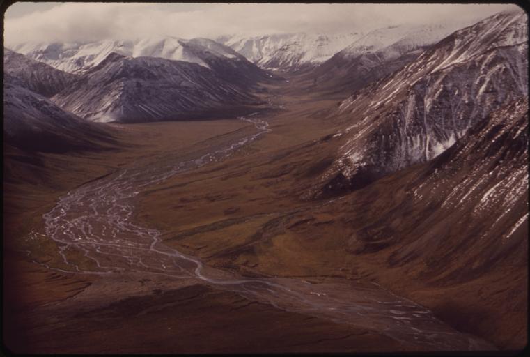
| View Original: | LARGE_VALLEY_WEST_OF_THE_PIPELINE_ROUTE_IN_THE_UPPER_ATIGUN_VALLEY._THE_RIVER_DRAINS_INTO_THE_ATIGUN_-_NARA_-_550497.jpg (3000x2019) | |||
| Download: | Original | Medium | Small | Thumb |
| Courtesy of: | commons.wikimedia.org | More Like This | ||
| Keywords: LARGE VALLEY WEST OF THE PIPELINE ROUTE IN THE UPPER ATIGUN VALLEY. THE RIVER DRAINS INTO THE ATIGUN - NARA - 550497.jpg Scope and content General notes 550497 Local identifier 412-DA-8012 Environmental Protection Agency 12/02/1970 - NARA-Author Cowals Dennis 1945- Photographer 2196327 <br /> Alaska 4189566 65 -153 <br /> Still Picture Records Section Special Media Archives Services Division NWCS-S National Archives at College Park 8601 Adelphi Road College Park MD 20740-6001 08/1973 Record group Record Group 412 Records of the Environmental Protection Agency 1944 - 2006 Record group ARC 708 DOCUMERICA The Environmental Protection Agency's Program to Photographically Document Subjects of Environmental Concern compiled 1972 - 1977 Series ARC 542493 File unit File unit ARC Variant control numbers Agency-Assigned Identifier 134/32/008012<br /> NAIL Control Number NWDNS-412-DA-8012 Other versions <gallery> File LARGE_VALLEY_WEST_OF_THE_PIPELINE_ROUTE_IN_THE_UPPER_ATIGUN_VALLEY _THE_RIVER_DRAINS_INTO_THE_ATIGUN_-_NARA_-_550497 tif tif File LARGE_VALLEY_WEST_OF_THE_PIPELINE_ROUTE_IN_THE_UPPER_ATIGUN_VALLEY _THE_RIVER_DRAINS_INTO_THE_ATIGUN_-_NARA_-_550497 jpg jpg </gallery> NARA-cooperation PD-USGov Dennis Cowals Arctic National Wildlife Refuge Brooks Range | ||||