MAKE A MEME
View Large Image
| View Original: | Kutna_hora_historicky_plan.jpg (562x449) | |||
| Download: | Original | Medium | Small | Thumb |
| Courtesy of: | commons.wikimedia.org | More Like This | ||
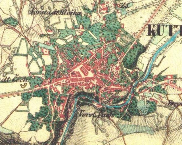
| Keywords: Kutna hora historicky plan.jpg Kutná hora - výřez z historické vojenské mapy mapy cz ca 1850 author PD-old PD-Art Maps of Kutná Hora 1850 maps Old maps of cities in the Czech Republic | ||||