MAKE A MEME
View Large Image
| View Original: | Koenigreichholland.jpg (781x606) | |||
| Download: | Original | Medium | Small | Thumb |
| Courtesy of: | commons.wikimedia.org | More Like This | ||
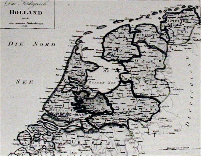
| Keywords: Koenigreichholland.jpg Karte von Ostfriesland als Teil des Königreiches JHolland 1806-1810 scan taken from Politische Geschichte Ostfriesland by Heinrich Schmidt 2009-12 Matthias Süßen Author died more than 70 years ago - public domain PD-old Maps of the history of Lower Saxony Maps of East Frisia | ||||