MAKE A MEME
View Large Image
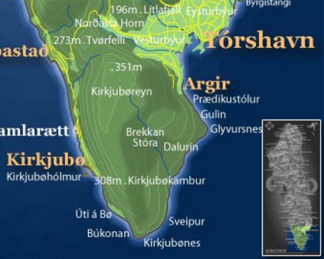
| View Original: | KirkjubøurMap.jpg (339x271) | |||
| Download: | Original | Medium | Small | Thumb |
| Courtesy of: | commons.wikimedia.org | More Like This | ||
| Keywords: KirkjubøurMap.jpg Image created by me from Image Streymoy map jpg which is in the public domain because it was released by the copyright holder Postverk Føroya - Philatelic Office 2006-08-20 own assumed Euchiasmus Kirkjubøur Topographic maps of the Faroe Islands | ||||