MAKE A MEME
View Large Image

| View Original: | Ketsch-Karte_Rheindurchstich.jpg (734x525) | |||
| Download: | Original | Medium | Small | Thumb |
| Courtesy of: | commons.wikimedia.org | More Like This | ||
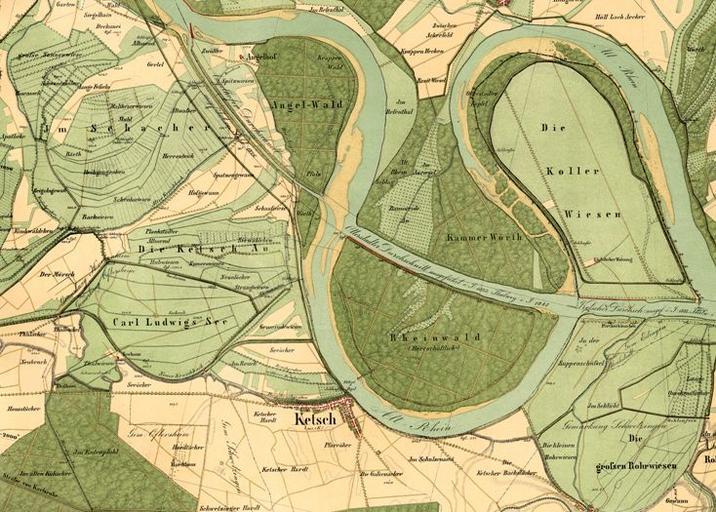
| Keywords: Ketsch-Karte Rheindurchstich.jpg de Rheinbegradigung Durchschnitt bei Ketsch 1833 http //themenpark-umwelt baden-wuerttemberg de ungenannt 1833 PD-old Straightening of the Rhine 1833 Geography of Ketsch Naturschutzgebiet Ketscher Rheininsel Ketscher Altrhein Naturschutzgebiet Karl-Ludwig-See Ketsch Angelhofer Altrhein 1833 maps Old maps of Rhineland-Palatinate 19th-century maps of Baden-Württemberg Maps of the Rhine | ||||