MAKE A MEME
View Large Image

| View Original: | Kayangel old map.jpg (661x1183) | |||
| Download: | Original | Medium | Small | Thumb |
| Courtesy of: | commons.wikimedia.org | More Like This | ||
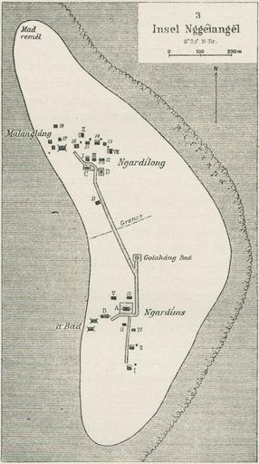
| Keywords: Kayangel old map.jpg en map of Kayangel Islet largest islet Kayangel Atoll in the north of Palau Islands Micronesia Pacific Ocean 1919 Ergebnissen der SĂĽdsee-Expedition 1908 “1910 Band 3 Palau / Augustin Krämer Teilband 2 Abteilung III Siedelungen Bezirke Dörfer Verfassung Abteilung IV Demographie Anthropologie Sprache Friederichsen Hamburg 1919 http //digitalisate sub uni-hamburg de/detail html tx_dlfid 14008 Online S 40 Ngeiangel Augustin Krämer other versions PD-old-70-1923 Maps of Palau Kayangel Atoll | ||||